An enigma at the heart of Ba Bể
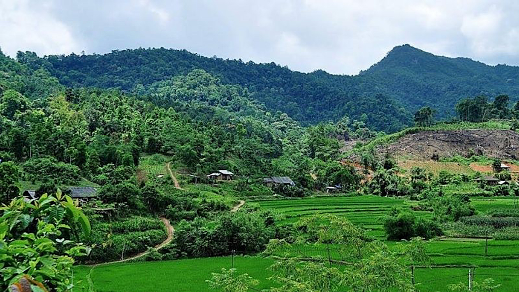
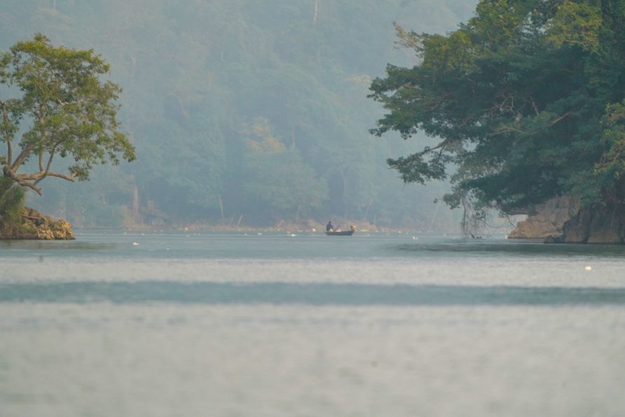
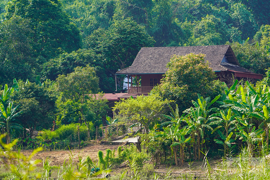
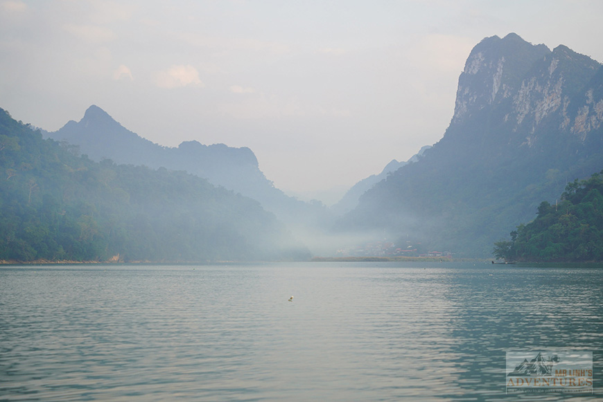
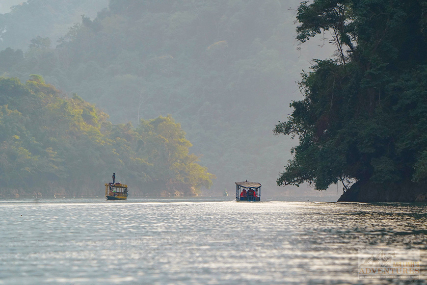
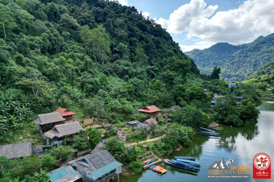
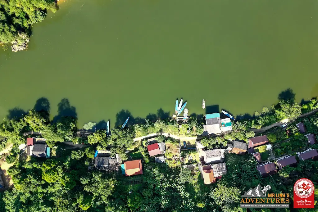
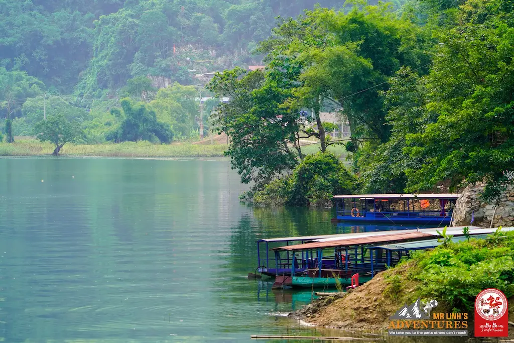
Cốc Tộc is a village nestled in the commune of Nam Mẫu, right in the middle of Ba Bể National Park. With its privileged location on the shores of Ba Bể Lake, this Tày ethnic village charms visitors with its pristine setting, well away from mass tourism. And with its mysterious origins.
If you ask a Sino-Vietnamese scholar what “Cốc Tộc” means, they’ll probably launch into some grand, smoky theory. They’ll dissect the word: “Cốc” (a ravine, a deep valley) and “Tộc” (a clan, a lineage). Therefore, the scholar will conclude, “it means a clan living at the bottom of a ravine.” It’s clean, logical, and impeccably academic. It’s also completely wrong.
The hills of Bắc Kạn couldn’t care less about filing cabinets and tick boxes.
To understand this little corner of the world tucked beside a lake, you have to accept that reality here isn’t an administrative report. It’s a bit more fluid, a bit steeper (often inclined toward wonder), and decidedly more poetic.
Welcome to the utterly true story of Cốc Tộc, a tale where karst meets sap.
The earth version
Ask the same question to the locals, and they’ll look at you with that indulgence reserved for tourists attempting the local language. For them, the story is much more down-to-earth, and it smells of chlorophyll.
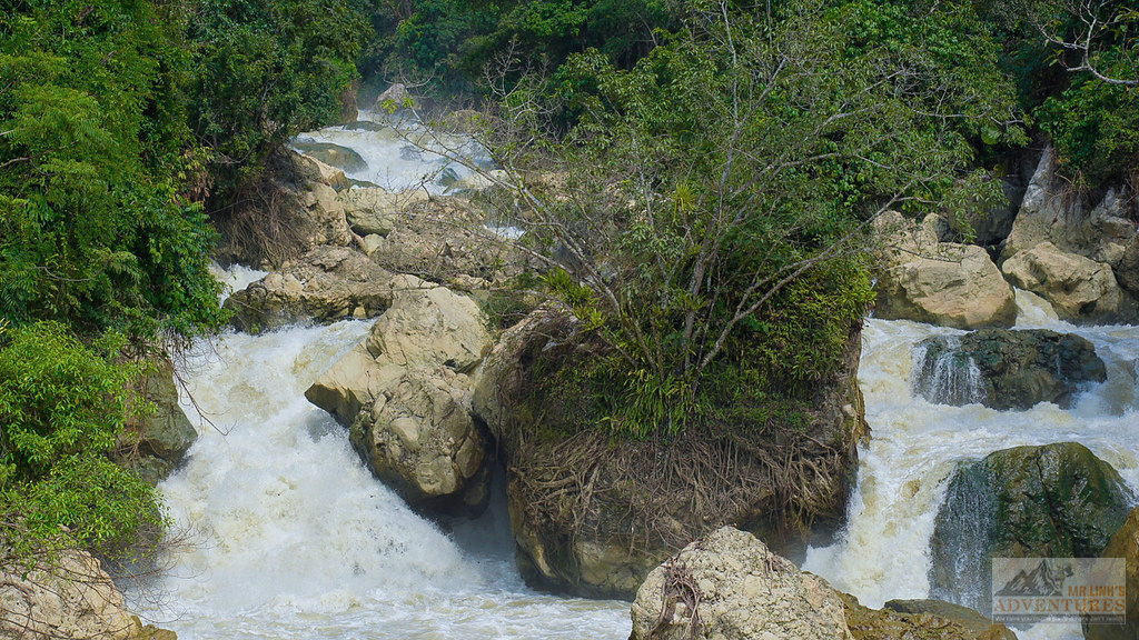
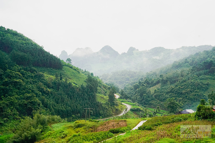
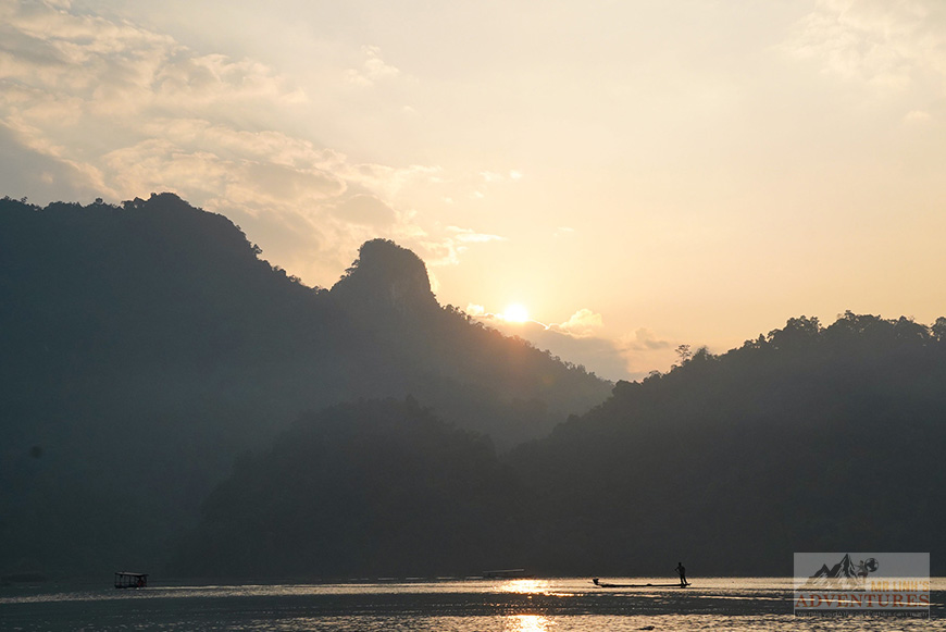
Geographically, Cốc Tộc is the exact spot where the mountain decided to give up on verticality and go have a drink by the lake’s edge.
In the Tày language, “Cốc” designates the base, the foot, the root of anything. And “Tộc” is the action of tumbling down, toppling over, falling heavily. If we stick to the rocks, Cốc Tộc literally means “The foot of the slope.”
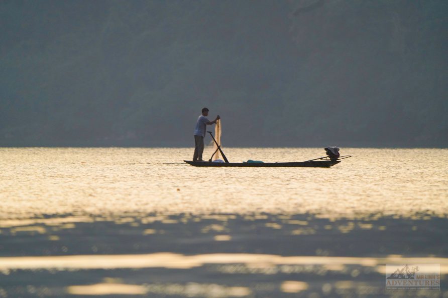
It’s the kind of explanation you’d get from a civil engineer lost in the jungle: the village is built according to the immutable principle of *lưng tựa núi, mặt hướng hồ* (back against the limestone cliffs, eyes fixed on the calm waters). Where the rock retreats, the pirogues take over : hollowed trunks, laughter, nets, and makeshift repairs. A break in the slope that became a cradle, a landing point for stones when they decided they’d had enough of gravity.
The sap version
But if you spend an evening in a stilt house, listening to the crackle of the hearth suspended beneath smoked fish, the elders will tell you a completely different story. A story that isn’t about falling stones, but about clinging roots.
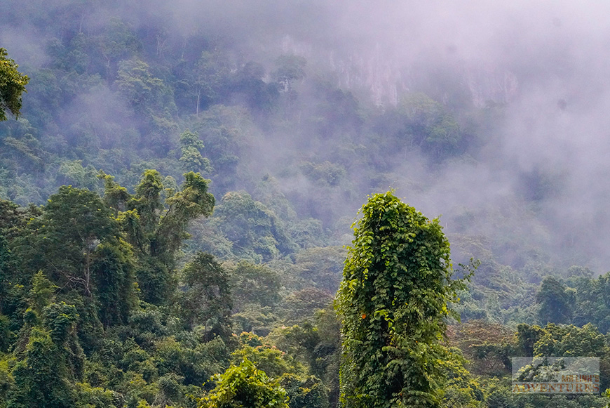
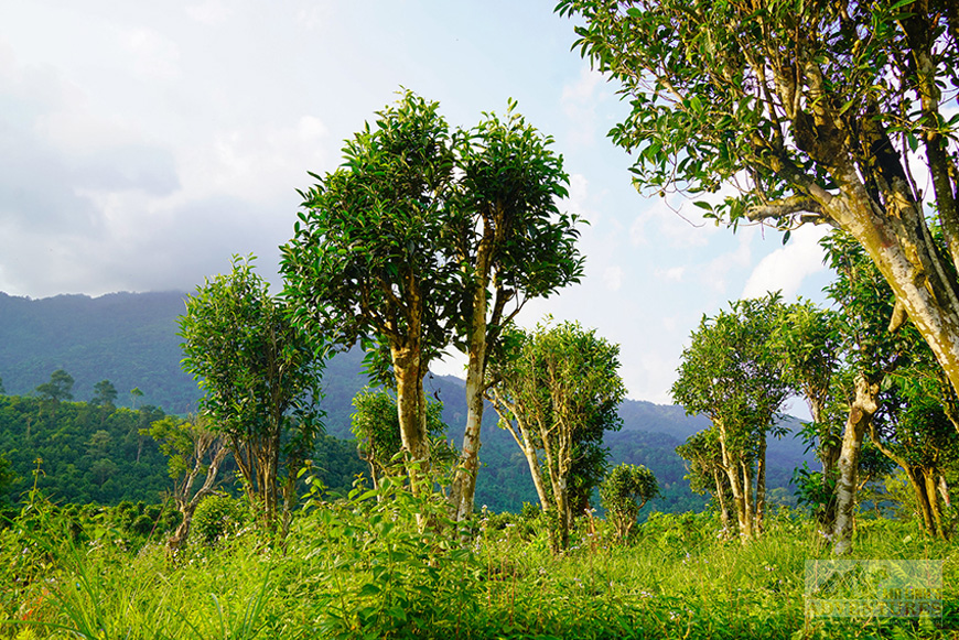
For the old Tày, “Cốc” isn’t the foot of the mountain : it’s the trunk. The origin. The landmark. You didn’t found a village on geographic coordinates; you founded it in the shade of a tree with character. And that tree was called the Toc, or maybe the Giát.
Nobody knows exactly what this legendary tree looked like, baptized Gốc Giát or Mạy Tộc in local memory. Did its leaves cure monsoon fevers? Was its wood so dense it refused to sink? Was it so gigantic that an entire clan settled beneath its canopy, eventually confusing bark with house walls?
After listening to various accounts, a pragmatic truth eventually emerges: a clan simply stopped there one day, under an absolutely colossal tree. It’s terribly practical. And human. Because you know, humans don’t name places after abstract concepts of lineage or topography. They name them after the colossal tree they shelter under when it’s pouring rain, and where they argue about whose turn it is to watch the buffaloes. The tree has been dead for three centuries, but the name remained, like a label someone forgot to remove. A phonetic ghost, engraved on official signposts.
In praise of uncertainty
So, what to believe? The foot of the cliff or the forgotten tree?
The elders, who’ve seen enough seasons to know that certainties get rained on, warn us with a half-serious, half-amused air: “Without knowing what this plant really looked like, better not to stubbornly insist.”
The magic of Cốc Tộc lies precisely in this refusal to choose sides. It’s a place that exists simultaneously in the raw geology of the Northeast and in the whispers of oral tradition. It’s a living memory, slightly wobbly, passed down from generation to generation around a cup of rice wine. We all know it: official history is just a lie that’s had time to sit down and collect dust – and a few beers; the village’s memory, meanwhile, is still running everywhere.
Cốc Tộc. Just a village name. As simple as a label. And yet charged with living substance; a kind of linguistic compass reminding us that here, nature and humans share the same family tree.
Next time you walk the dirt path leading to the village, just after the bend at Bó Lù, look at the great trees clinging to the karst above the thatched roofs.
One of them might be the last descendant of the Gốc Giát, and it’s simply waiting for you to ask the question.
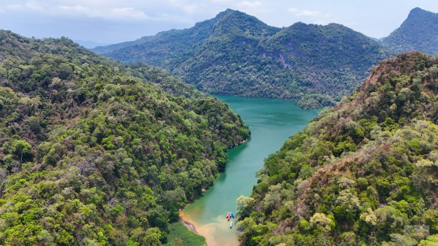
To find out more about the unique karst geology and biodiversity surrounding our resort, see the information on Ba Be National Park.
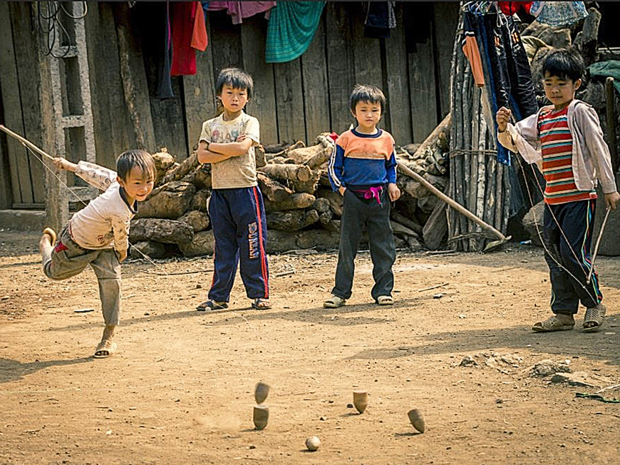
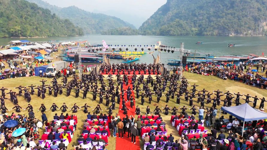
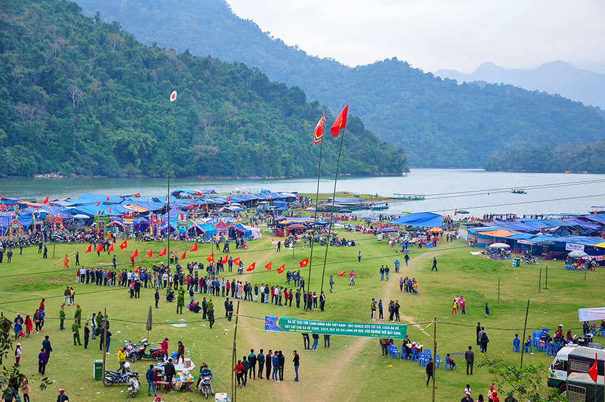
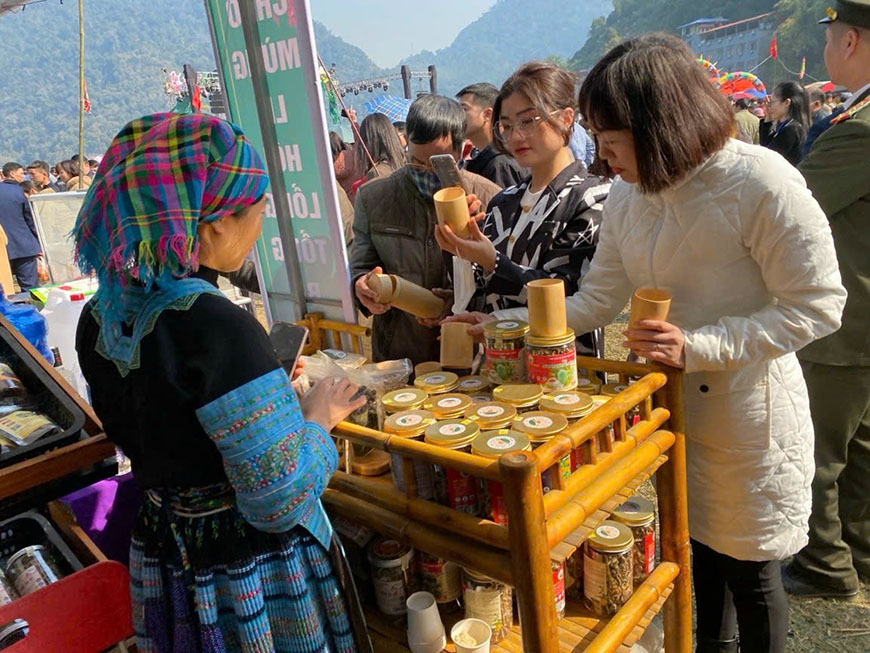
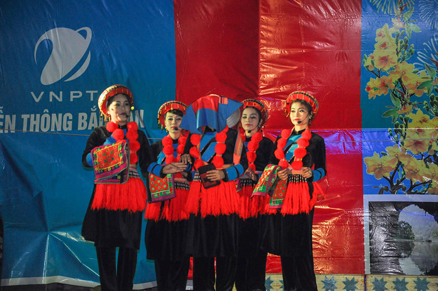
Discovering the Ethnic Villages Around Ba Be Lake
The Tay of Ba Be: A Fascinating People of Vietnam