Nestled within the karst mountains of Northeast Vietnam, the Ba Be region showcases a landscape where water sculpts the rock and molds the communities. At the core of this aquatic world lies Lake Ba Be, fed and traversed by a network of rivers and underground springs. Let’s delve into a portrait of these rivers, their ecological and human significance, and the challenges they face.
A landscape shaped by water and limestone
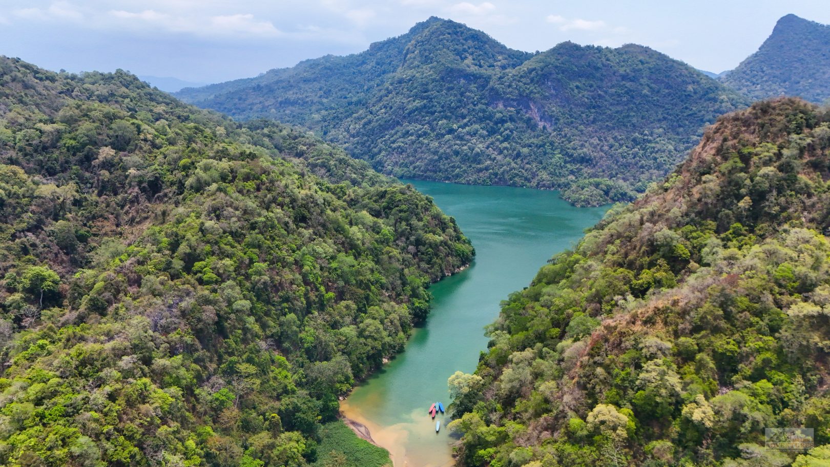
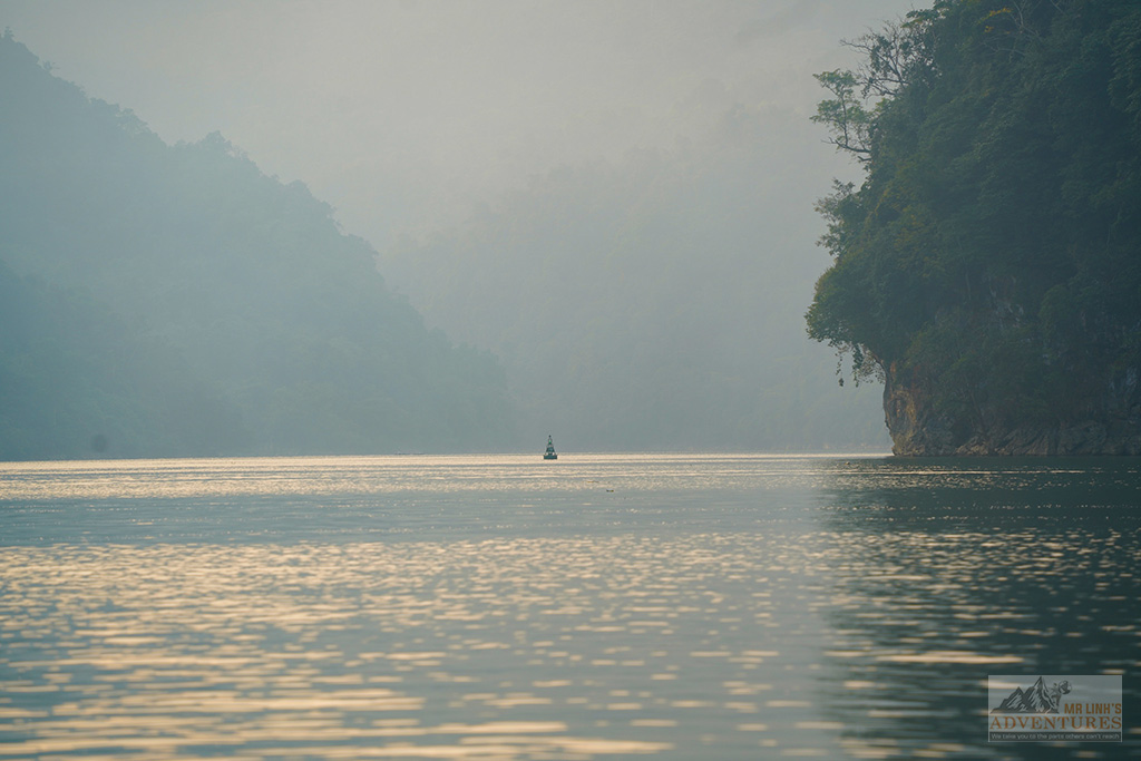
The Ba Be basin is a geological masterpiece dominated by limestone. Amidst steep cliffs and intricate topographies, constant runoff guides the waters towards an 8 km emerald ribbon: Lake Ba Be. This unique system, comprising three interconnected basins (Pé Lầm, Pé Lù, and Pé Lèng), thrives through a dramatic interplay of open gorges and hidden subterranean passages.
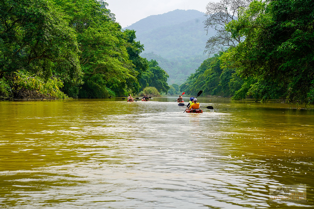
At the heart of the hydrological system, the Nang River plays the starring role. Beyond being a mere waterway, it facilitates traditional boat traffic and provides continuous nourishment to the lake. Two significant sites mark its course:
The Nang River doesn’t just skirt the mountains; it pierces through them. Beneath the majestic arch of Động Puông, the karst silence is only broken by the glide of traditional boats, offering an almost mystical transition to the lake.
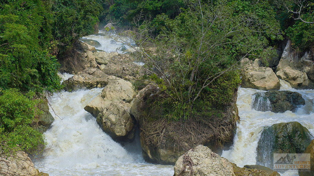
Downstream, the power of Nang reveals itself at Dầu Đăng Falls (Dau Dang), attracting strollers and photographers alike.
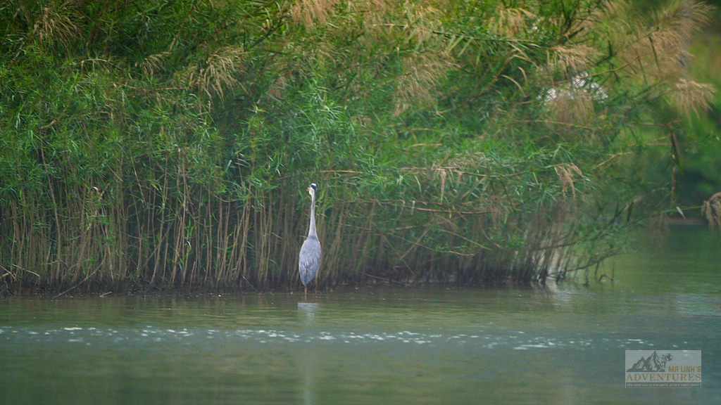
This water network, complemented by the tributaries Tả Hạn and Nam Cường, sustains a biodiversity of rare richness. Riparian forests (wooded strips along the banks) act as vital corridors for diverse fauna, while the micro-habitats of wet caves shelter endemic species.
Yet, this balance remains delicate. Amidst tourist pressures and agricultural challenges, preserving this site – recognized by the Ramsar Convention – stands as a top priority. Exploring Ba Be involves a commitment to responsible tourism: favoring gentle navigation in the dry season (October–April) and heeding the guidance of local guides to touch upon the soul of this living heritage.
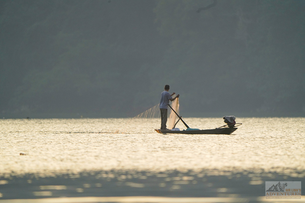
In Ba Be, water isn’t just a backdrop; it shapes daily life. Tày, Dao, and Hmong villages line the shores, where land and water merge. Artisanal fishing and rice paddies, irrigated by floods, mark the seasons. Travelers may spot traditional wooden boats, with shallow drafts, silently gliding to transport people and goods. This millennia-old cohabitation between man and karst creates a unique ambiance where each night spent with locals and every conversation by the water reveals a fascinating cultural resilience.
A heritage in motion
More than mere waterways, the rivers of Ba Be are the veins of a living organism where nature and culture intertwine. By safeguarding each meander and underground source, we’re not just preserving a picturesque backdrop but a fragile equilibrium that sustains entire communities.
Exploring this hydrological network means embracing a slower pace to comprehend the story of an ever-evolving landscape.